
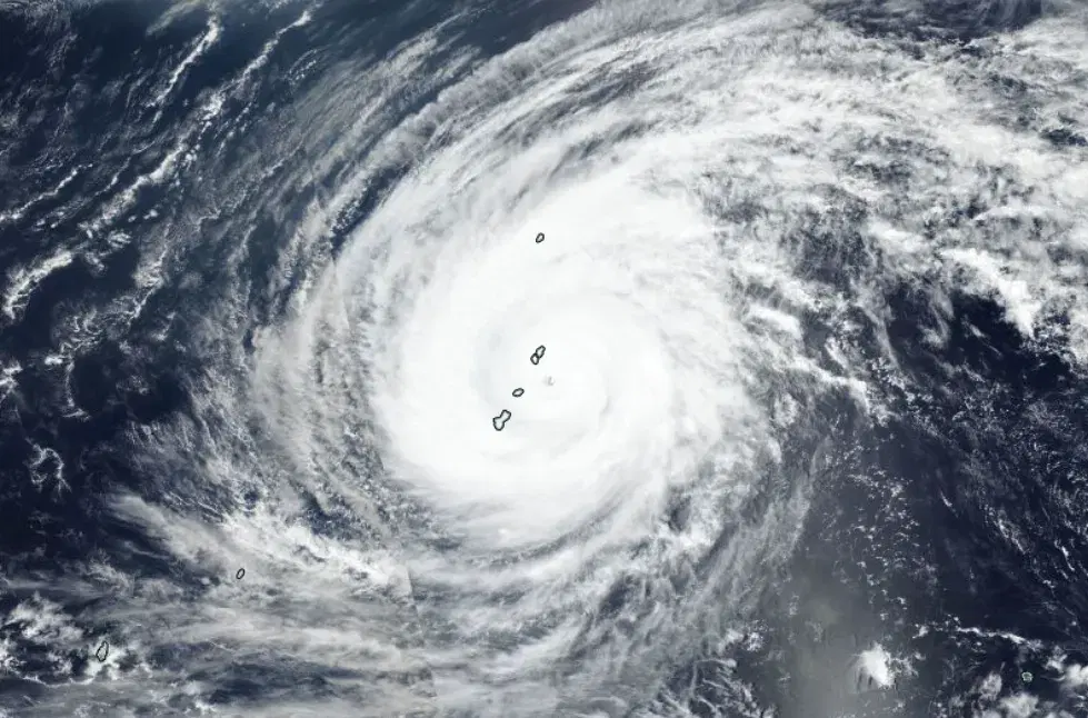
Typhoon Sinlaku April 2026
Typhoon Sinlaku impacted Guam and the Northern Mariana Islands, prompting NASA to support federal response partners with satellite data and mapping to assess power outages, flooding, landslide hazards, and storm impacts where ground-based observations were limited.
Overview
Typhoon Sinlaku brought high winds and heavy rainfall to the Northern Mariana Islands and Guam, causing widespread power blackouts, flooding, and extensive damage to homes and infrastructure.
In coordination with FEMA and other federal partners, the NASA Disasters Program worked with FEMA, USGS, the American Red Cross and the Centers for Medicare and Medicaid Services to support the U.S. response to the storm. The program shared satellite-based maps and data with partners, including NASA Black Marble data to assess power outages, landslide hazard assessment maps, and imagery from commercial partners – enabled by NASA's Commercial Satellite Data Acquisition Program – that provided context and situational awareness. NASA also shared IMERG satellite precipitation data to assess rainfall impacts when ground-based weather radars on the islands were disabled by the storm.
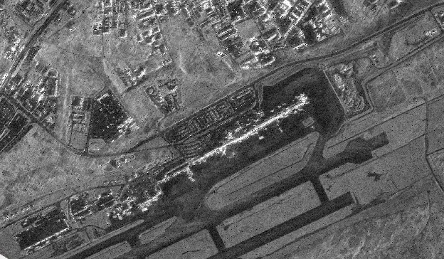
Event Data Gallery
View all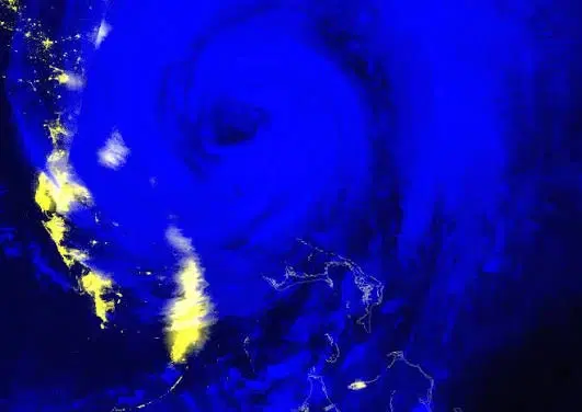
Black Marble Nighttime Blue/Yellow Composite
The Black Marble Nighttime Blue/Yellow Composite uses VIIRS nighttime observations to visualize artificial lights, fires, and clouds, supporting assessment of potential power outages and other disaster impacts.
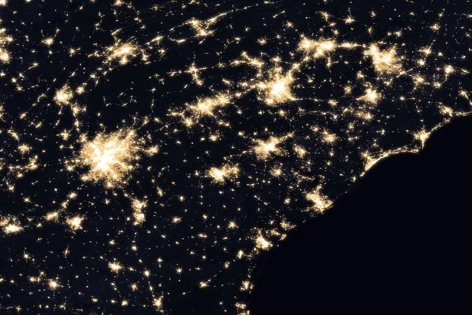
Black Marble BRDF-Corrected Nighttime Lights
Daily VIIRS nighttime lights corrected for moonlight, atmosphere, and viewing geometry (BRDF), delivered with a cloud-free monthly pre-event composite and a daily cloud mask for assessing power outages and recovery after disasters.
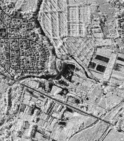
Capella SAR Backscatter
Sigma Naught backscatter derived from high-resolution Capella Space synthetic aperture radar (SAR) imagery acquired through NASA's Commercial Satellite Data Acquisition (CSDA) Program.
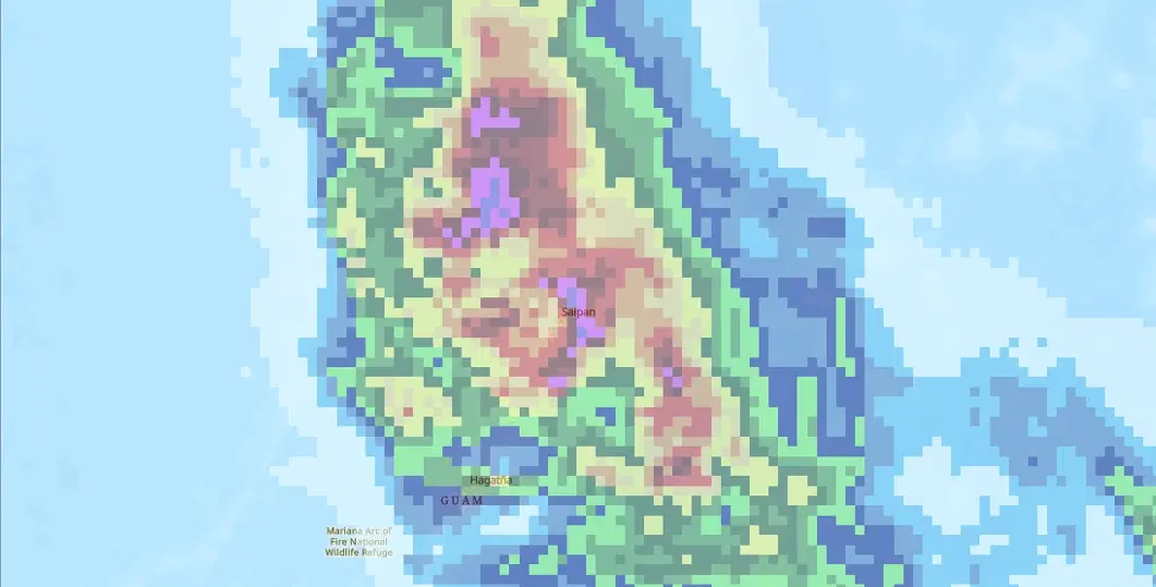
GPM IMERG Accumulated Precipitation
Daily accumulated precipitation from NASA's Integrated Multi-satellitE Retrievals for GPM (IMERG), a near-real-time global rainfall estimate that blends passive microwave, radar, and infrared satellite observations onto a 0.1 degree grid.
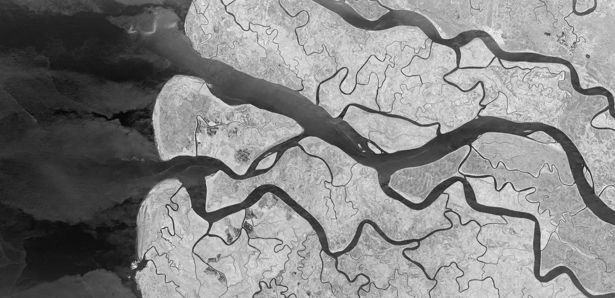
ICEYE SAR Backscatter
Sigma Naught backscatter derived from high-resolution ICEYE synthetic aperture radar (SAR) imagery acquired through NASA's Commercial Satellite Data Acquisition (CSDA) Program.

Landsat Color Infrared Imagery
Created using near-infrared, red, and green channels to highlight vegetation, water, burned areas, and other surface changes associated with natural hazards.
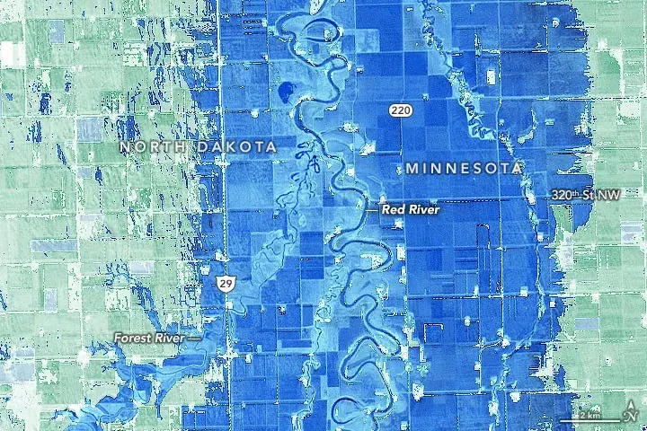
Landsat Modified Normalized Difference Water Index (MNDWI)
Modified Normalized Difference Water Index (MNDWI) uses green and shortwave-infrared reflectance to enhance open water features and suppress vegetation, soil, and built-up surfaces.
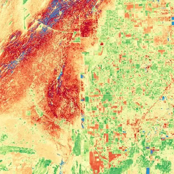
Landsat Normalized Difference Vegetation Index (NDVI)
Normalized Difference Vegetation Index (NDVI) uses near-infrared and red reflectance to indicate the presence and relative condition of green vegetation.

Landsat True Color Imagery
The Landsat True Color RGB composite provides a natural-looking view of the Earth's surface similar to how it would appear to the human eye.
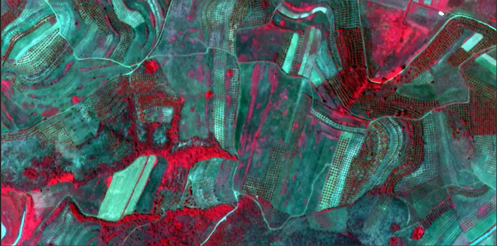
Satellogic Color Infrared Imagery
Satellogic Color Infrared imagery combines near-infrared, red, and green observations from Satellogic's high-resolution multispectral satellites to highlight vegetation, water, and burned or damaged areas affected by floods, storms, fires, and other hazards.
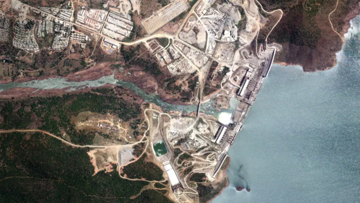
Satellogic True Color Imagery
Satellogic True Color imagery combines red, green, and blue observations from Satellogic's high-resolution multispectral satellites to provide a natural-looking, sub-meter to meter-scale view of the Earth's surface for disaster response and assessment.

Sentinel-2 Color Infrared Imagery
Created using near-infrared, red, and green channels to highlight vegetation, water, burned areas, and other surface changes associated with floods, fires, and other hazards.
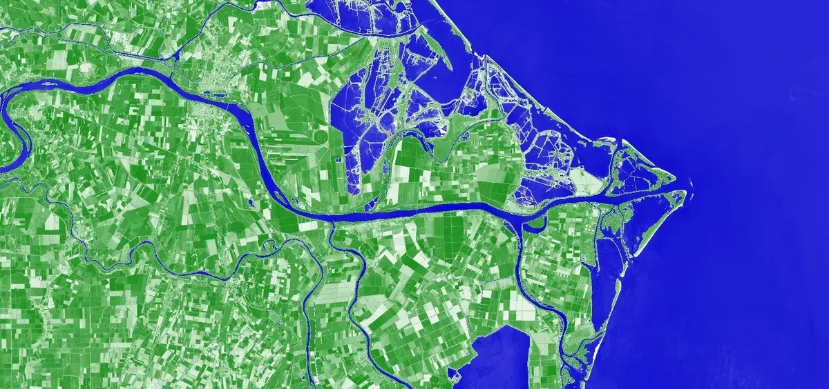
Sentinel-2 Modified Normalized Difference Water Index (MNDWI)
Modified Normalized Difference Water Index (MNDWI) uses green and shortwave-infrared reflectance to enhance open water features and suppress vegetation, soil, and built-up surfaces.

Sentinel-2 True Color Imagery
A visible-light composite created from Sentinel-2 red, green, and blue observations to show the Earth's surface approximately as it would appear to the human eye from space.
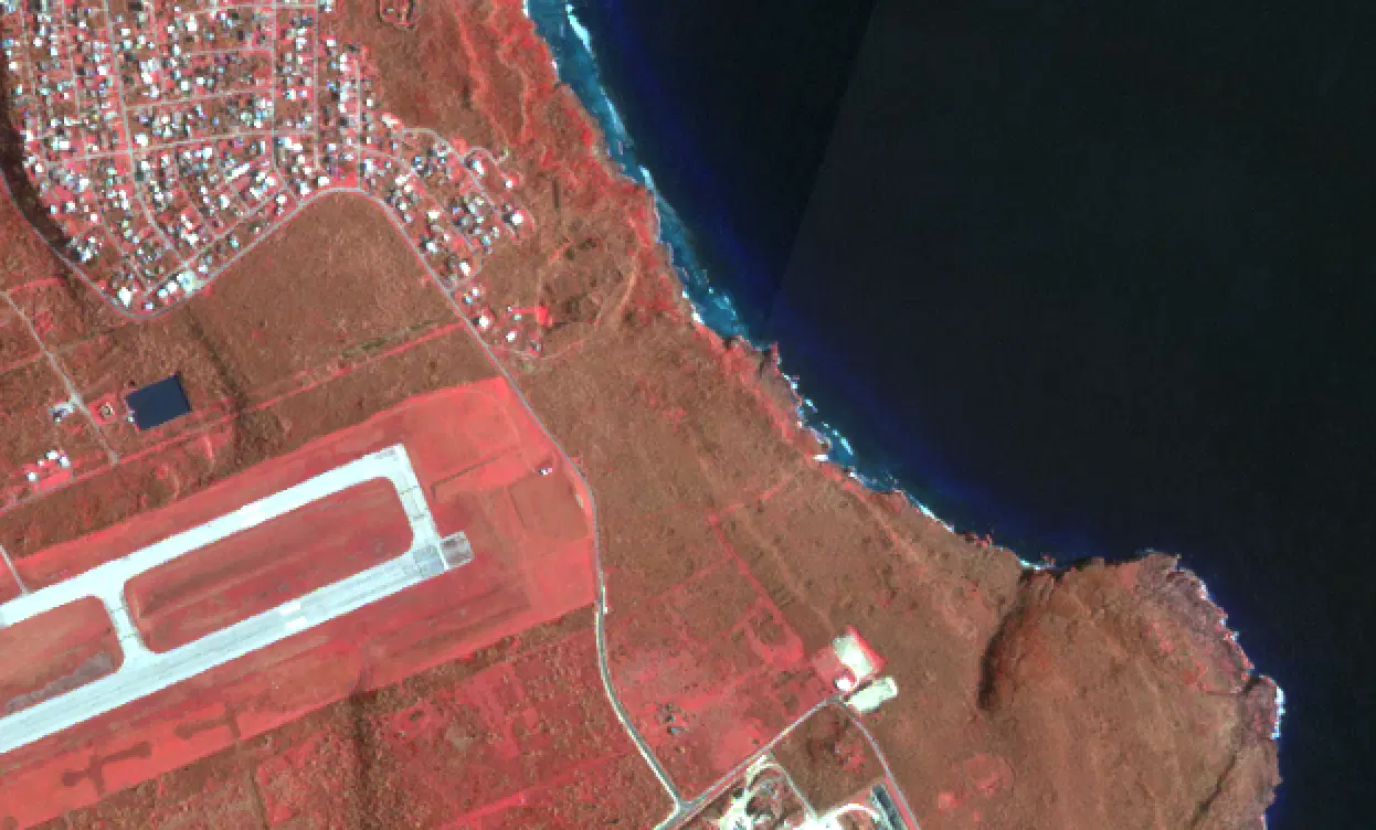
Planet SkySat Color Infrared Imagery
Planet SkySat Color Infrared imagery combines near-infrared, red, and green observations from Planet's SkySat constellation to highlight vegetation, water, and burned areas at very high resolution.
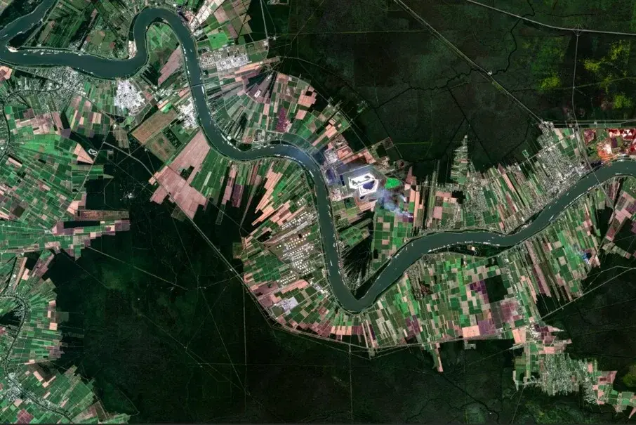
Planet SkySat True Color Imagery
Planet SkySat True Color imagery combines red, green, and blue observations from Planet's SkySat constellation to provide very-high-resolution, natural-looking views of the Earth's surface for disaster response and assessment.
Umbra Backscatter
Sigma Naught backscatter derived from high-resolution Umbra synthetic aperture radar (SAR) imagery acquired through NASA's Commercial Satellite Data Acquisition (CSDA) Program.