
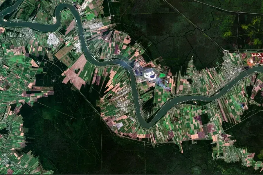
Planet SkySat True Color Imagery
Summary
Planet SkySat True Color imagery is created using the red, green, and blue visible wavelength bands from SkySat observations to provide a natural-looking representation of the Earth's surface. SkySat is a constellation of very-high-resolution optical satellites operated by Planet Labs PBC that can revisit a location multiple times a day, collecting imagery at approximately 50 cm per pixel. Each SkySat scene is published as an individual acquisition with its collection time. NASA-supported access to Planet commercial satellite imagery is provided through NASA's Commercial Satellite Data Acquisition (CSDA) Program.
Suggested Use
Planet SkySat True Color imagery can be used for detailed visual assessment of surface conditions before and after natural hazards. The very high spatial resolution supports identification of storm and wind damage to buildings and infrastructure, flooding, debris, changes to vegetation, and other visible surface changes at the neighborhood scale. Because the product uses visible wavelengths, clouds, smoke, haze, and other atmospheric conditions may obscure the surface. Scene footprints are small compared to PlanetScope, so coverage is targeted rather than wall-to-wall.
Terms of Use
NASA data and products are freely available to federal, state, public, non-profit and commercial users. This information can be experimental- or research-grade data products and may not be appropriate for operational use. These NASA data products, services, and the Disasters Mapping Portal are intended to aid decision makers and enhance situational awareness, but these data are not guaranteed to be consistently available or routinely updated. Use of this product should include: 'Includes copyrighted material of Planet Labs PCB. All rights reserved.'
Satellite/Sensor
SkySat optical satellite constellation operated by Planet Labs PBC
Resolution
Approximately 50 centimeters
Credits
Planet Labs PBC; NASA Commercial Satellite Data Aqcuisition (CSDA) Program; NASA Disasters Program
©2026 Planet Labs PBC. All rights reserved.
This work utilized data made available through the NASA Commercial Satellite Data Acquisition (CSDA) Program.
Tags
NASA, CSDA, Planet Labs, SkySat, Commercial Satellite Data, True Color, RGB, Optical, Very High Resolution