
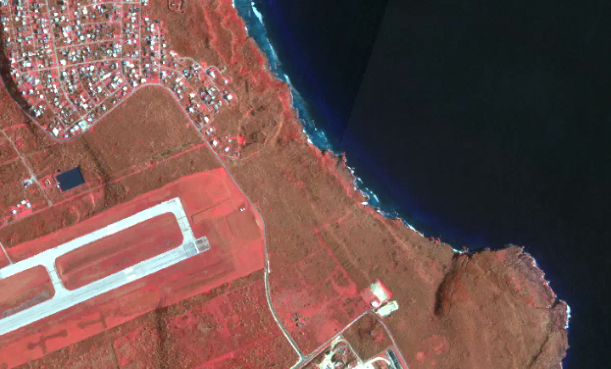
Planet SkySat Color Infrared Imagery
Summary
Planet SkySat Color Infrared imagery is created using the near-infrared, red, and green bands from SkySat observations. Healthy vegetation appears red, water appears dark blue to black, and burned or bare areas appear dark or brown, which makes flood extent, vegetation damage, and burn scars easier to distinguish than in natural color. SkySat is a constellation of very-high-resolution optical satellites operated by Planet Labs PBC that can revisit a location multiple times a day, collecting imagery at approximately 50 cm per pixel. Each SkySat scene is published as an individual acquisition with its collection time. NASA-supported access to Planet commercial satellite imagery is provided through NASA's Commercial Satellite Data Acquisition (CSDA) Program.
Suggested Use
Planet SkySat Color Infrared imagery can be used to identify flooded areas, vegetation loss, and burned areas after natural hazards at the neighborhood scale, and the near-infrared band gives some ability to see through thin haze. Because the product uses optical wavelengths, clouds and smoke may still obscure the surface. Scene footprints are small compared to PlanetScope, so coverage is targeted rather than wall-to-wall.
Terms of Use
NASA data and products are freely available to federal, state, public, non-profit and commercial users. This information can be experimental- or research-grade data products and may not be appropriate for operational use. These NASA data products, services, and the Disasters Mapping Portal are intended to aid decision makers and enhance situational awareness, but these data are not guaranteed to be consistently available or routinely updated. Use of this product should include: 'Includes copyrighted material of Planet Labs PCB. All rights reserved.'
Satellite/Sensor
SkySat optical satellite constellation operated by Planet Labs PBC
Resolution
Approximately 50 centimeters
Credits
Planet Labs PBC; NASA Commercial Satellite Data Aqcuisition (CSDA) Program; NASA Disasters Program
©2026 Planet Labs PBC. All rights reserved.
This work utilized data made available through the NASA Commercial Satellite Data Acquisition (CSDA) Program.
Tags
NASA, CSDA, Planet Labs, SkySat, Commercial Satellite Data, Color Infrared, False Color, NIR, Optical, Very High Resolution