
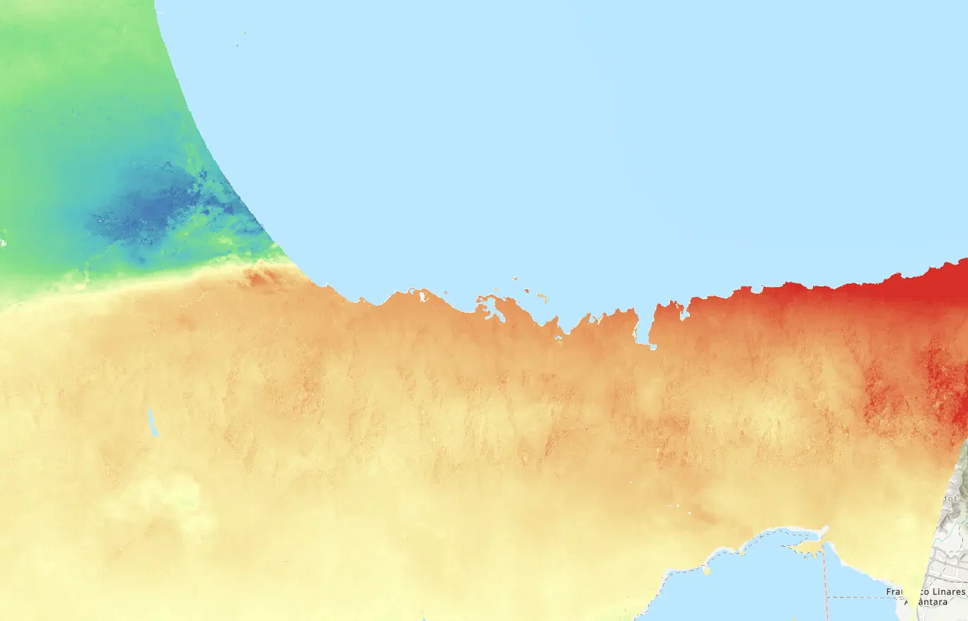
Venezuela Earthquakes June 2026
Following two major earthquakes in northern Venezuela, NASA supported response agencies with satellite data and analysis to assess damage, characterize hazards, and aid search-and-rescue efforts.
On June 24, 2026, magnitude 7.2 and 7.5 earthquakes struck the northern coast of Venezuela west of Caracas, collapsing buildings and disrupting transportation, power, and communications, with coastal La Guaira and communities near Morón among the hardest hit. In coordination with the U.S. Department of State, the NASA Disasters Program supported the U.S. Geological Survey (USGS), Rescue International, and Colombia’s national disaster-management agency. Imagery from NASA’s Commercial Satellite Data Acquisition Program and Sentinel 1 SAR data were used to produce structure-level damage assessments and change-detection products to support search-and-rescue operations. NISAR surface displacement maps supported USGS efforts to characterize the hazard, and LHASA analyses aided their landslide detection. NASA also hosted a capacity-building meeting with stakeholders to share data and facilitate deeper conversations with subject matter experts.

Event Data Gallery
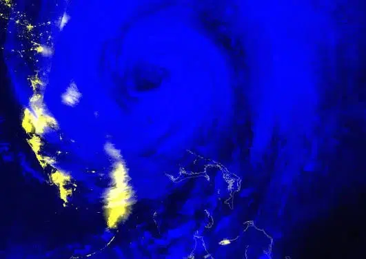
Black Marble Nighttime Blue/Yellow Composite
The Black Marble Nighttime Blue/Yellow Composite uses VIIRS nighttime observations to visualize artificial lights, fires, and clouds, supporting assessment of potential power outages and other disaster impacts.
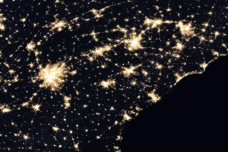
Black Marble BRDF-Corrected Nighttime Lights
Daily VIIRS nighttime lights corrected for moonlight, atmosphere, and viewing geometry (BRDF), delivered with a cloud-free monthly pre-event composite and a daily cloud mask for assessing power outages and recovery after disasters.
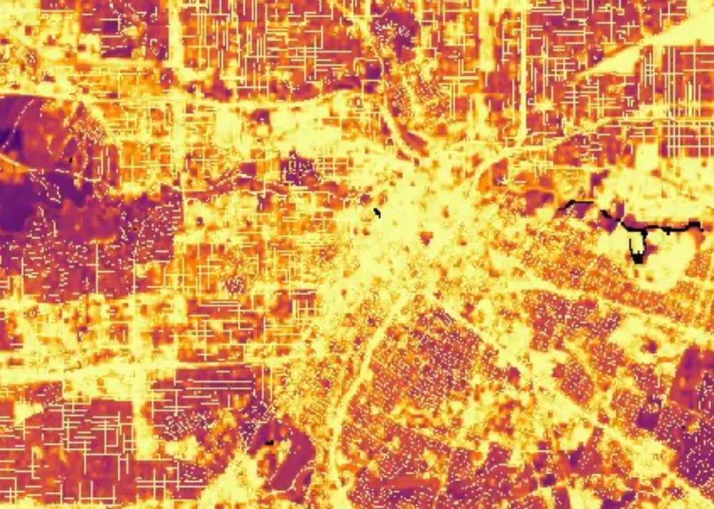
Black Marble HD
HD Black Marble combines VIIRS nighttime lights with Landsat-derived land surface information and OpenStreetMap road networks to create enhanced 30-meter nighttime light imagery for disaster impact assessment.

Landsat Color Infrared Imagery
Created using near-infrared, red, and green channels to highlight vegetation, water, burned areas, and other surface changes associated with natural hazards.

Landsat True Color Imagery
The Landsat True Color RGB composite provides a natural-looking view of the Earth's surface similar to how it would appear to the human eye.
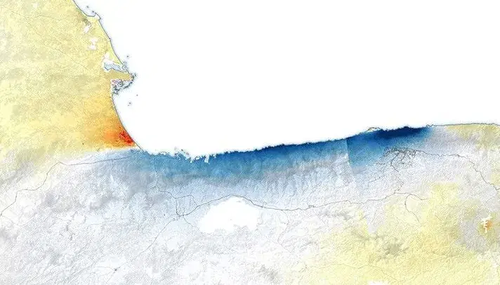
NISAR GUNW Surface Displacement
The NISAR Geocoded Unwrapped Interferogram (GUNW) displacement product uses L-band synthetic aperture radar observations from two acquisitions to measure changes in the Earth's surface along the radar line of sight.
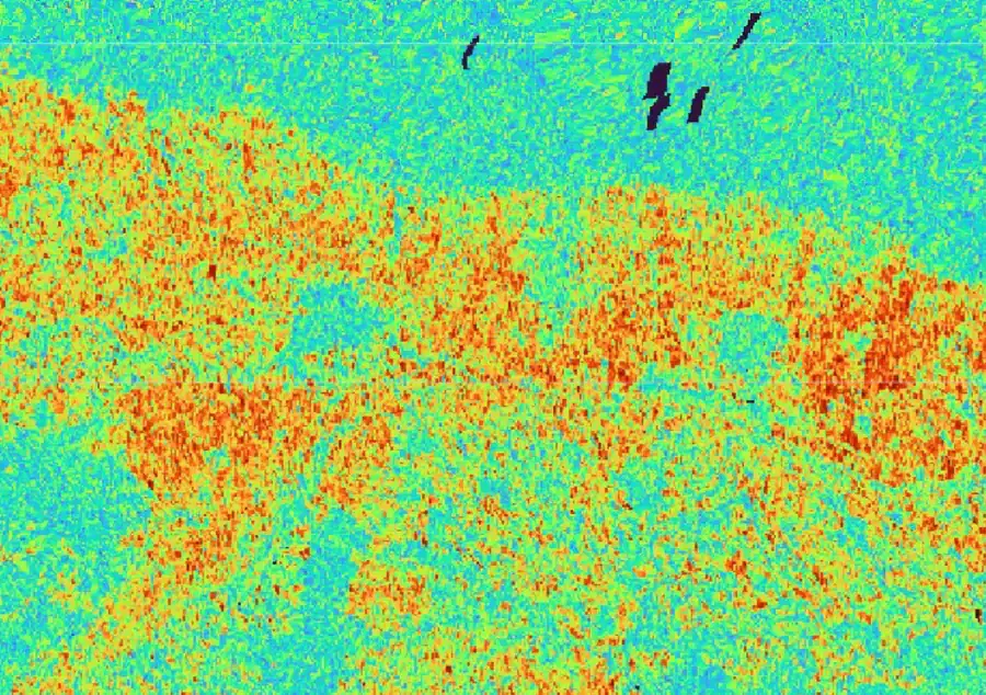
OPERA Displacement Coherence (DISP-S1)
The OPERA Displacement Coherence product provides interferometric coherence imagery from Sentinel-1 acquisition pairs to indicate the consistency and reliability of radar measurements used for surface displacement analysis.
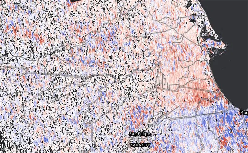
OPERA Displacement Range Change (DISP-S1 RNG)
The OPERA DISP-S1 Range Change product provides Sentinel-1 interferometric measurements of relative surface motion along the radar line of sight between reference and secondary satellite acquisitions.
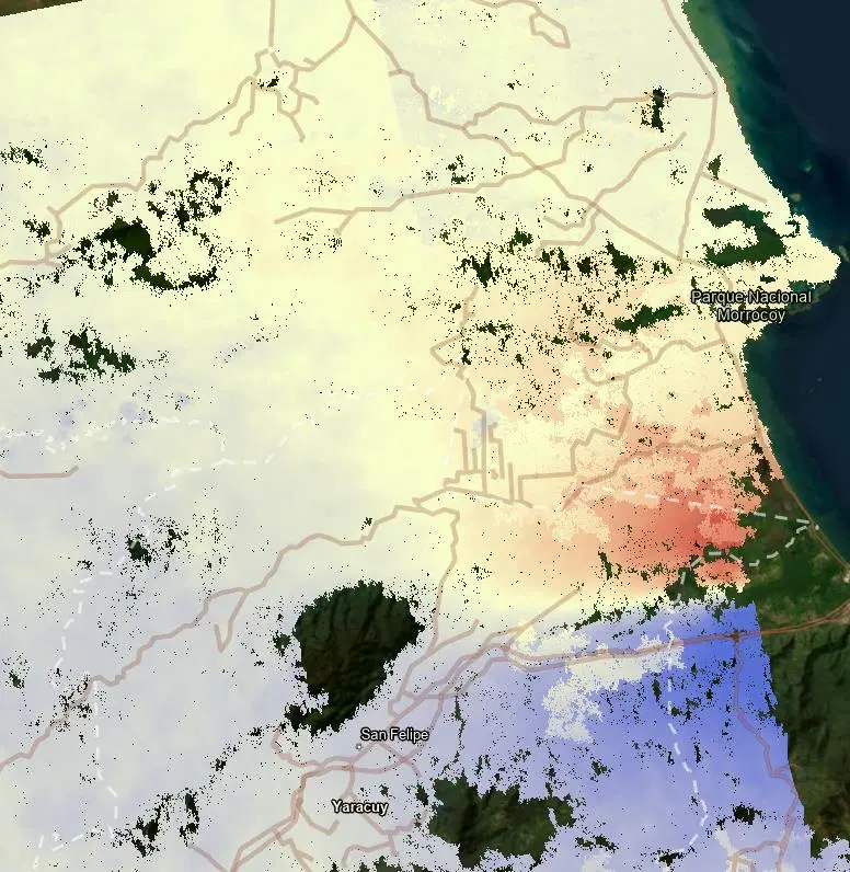
OPERA Unwrapped Interferometric Phase (DISP-S1 UNW)
The OPERA DISP-S1 Unwrapped Phase product provides a continuous representation of Sentinel-1 interferometric phase differences used to derive radar line-of-sight surface displacement.
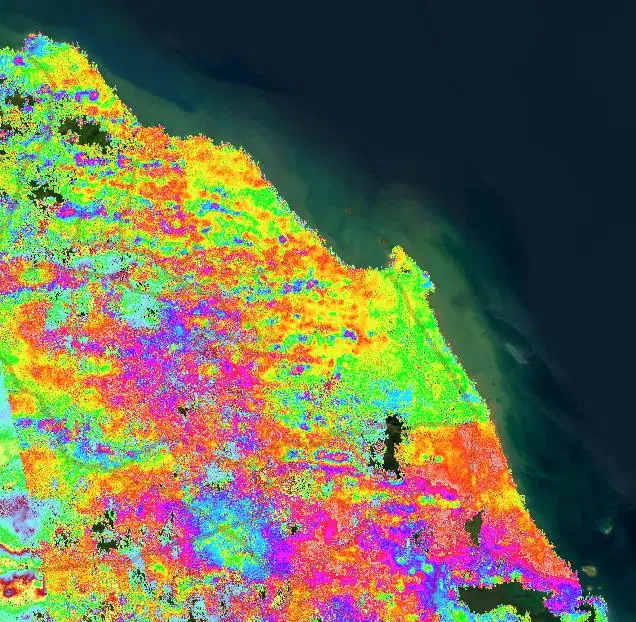
OPERA Wrapped Interferometric Phase (DISP-S1 WRP)
The OPERA DISP-S1 Wrapped Phase product displays Sentinel-1 interferometric phase differences between acquisition pairs before phase unwrapping, highlighting spatial patterns associated with surface deformation.

Sentinel-2 Color Infrared Imagery
Created using near-infrared, red, and green channels to highlight vegetation, water, burned areas, and other surface changes associated with floods, fires, and other hazards.

Sentinel-2 True Color Imagery
A visible-light composite created from Sentinel-2 red, green, and blue observations to show the Earth's surface approximately as it would appear to the human eye from space.

Vantor Color Infrared
Vantor Color Infrared imagery combines the near-infrared, red, and green bands of the WorldView eight-band multispectral sensors into a false-color view in which healthy vegetation glows red and water reads near-black, sharpening the distinction between damaged and intact ground cover.
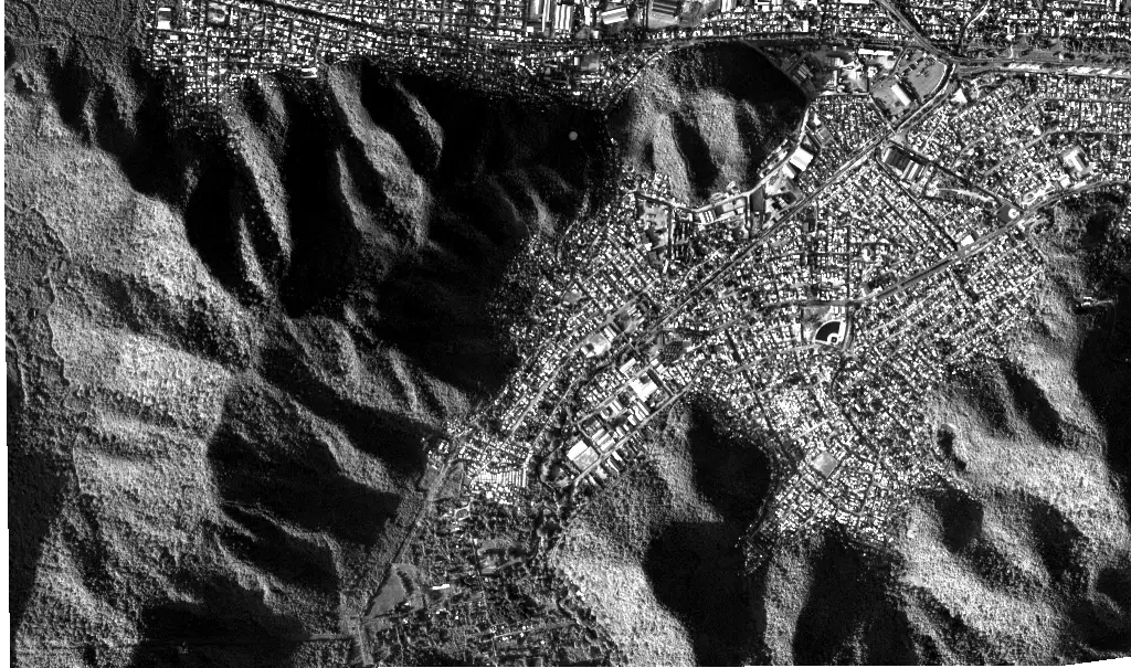
Vantor Panchromatic
Vantor Panchromatic imagery collects all visible light into a single grayscale band at 30 centimeters per pixel, the sharpest view in the delivery, for reading structural damage where fine detail matters more than color.

Vantor True Color
Vantor True Color imagery combines the red, green, and blue bands of the WorldView eight-band multispectral sensors into a natural-looking view of the surface at roughly a third of a meter per pixel, supporting visual assessment at the scale of individual buildings.