
Black Marble HD
Summary
Black Marble High-Definition (BMHD) images are created by the NASA Black Marble Science team, with directed funding from the NASA-Google Partnership program. Pre-event images will be depicted as a cloud-free monthly composite. There will be a layer to display where clouds are present in the post-event images. Comparing pre- and post-event images images is meant as a visual assessment of outage impacts from the disaster to aid various partners who are working to deliver emergency aids to local communities. Power outage maps like these help disaster response efforts in the short-term as well as long-term monitoring during the crucial stages of disaster recovery.
Suggested Use
NOTE: Black Marble HD images are downscaled from NASA’s Black Marble nighttime lights product (VNP46), and as such are a “modelled” or “best guess” estimate of how lights are distributed at a 30m resolution. These images should be used for visualization purposes, not for quantitative analysis.
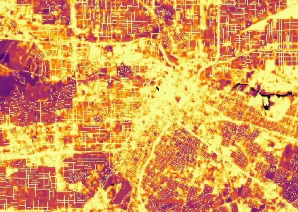
The image is in inferno color scale. Yellow represents the presence of more light; dark blue less lights.
Terms of Use
NASA data and products are freely available to federal, state, public, non-profit and commercial users. This information can be experimental- or research-grade data products and may not be appropriate for operational use. These NASA data products, services, and the Disasters Mapping Portal are intended to aid decision makers and enhance situational awareness, but these data are not guaranteed to be consistently available or routinely updated.
Satellite/Sensor
The primary data source, NASA’s Black Marble nighttime lights product suite (VNP46), utilized to generate this product is derived from the Visible Infrared Imaging Radiometer Suite (VIIRS) Day/Night Band (DNB) onboard the Suomi National Polar-orbiting Platform (SNPP) along with high resolution base layers - Landsat derived normalized index products (NDVI and NDWI) and OpenStreetMap (OSM) derived road layer
Resolution
Scaled resolution of 30 meters
Credits
NASA Black Marble Science team
Please cite the following two references when using this data:
Román MO, Stokes EC, Shrestha R, Wang Z, Schultz L, Carlo EA, Sun Q, Bell J, Molthan A, Kalb V, Ji C. Satellite-based assessment of electricity restoration efforts in Puerto Rico after Hurricane Maria. PloS one. 2019 Jun 28;14(6):e0218883.
Román MO, Wang Z, Sun Q, Kalb V, Miller SD, Molthan A, Schultz L, Bell J, Stokes EC, Pandey B, Seto KC. NASA's Black Marble nighttime lights product suite. Remote Sensing of Environment. 2018 Jun 1;210:113-43.
Tags
NASA, Black Marble, Black Marble HD, VIIRS, Nighttime Lights, Day/Night Band, DNB, VNP46A2, Landsat, OpenStreetMap, OSM, Power Outage, Disaster Response, Disaster Recovery