
U.S. Winter Storm January 2026
As a major winter storm struck the U.S., NASA supported federal and state response agencies with satellite data and mapping to identify power outages, monitor restoration, and guide response resources during prolonged extreme cold.
Overview
A large winter storm impacted much of the continental U.S., bringing snow, ice, and subfreezing temperatures. NASA’s Disasters Program is sharing maps and data to support state and federal response agencies.
Event Data Gallery
View all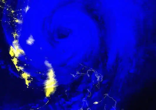
Black Marble Nighttime Blue/Yellow Composite
The Black Marble Nighttime Blue/Yellow Composite uses VIIRS nighttime observations to visualize artificial lights, fires, and clouds, supporting assessment of potential power outages and other disaster impacts.
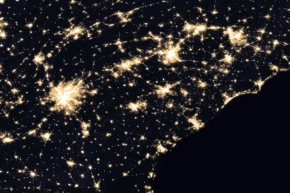
Black Marble BRDF-Corrected Nighttime Lights
Daily VIIRS nighttime lights corrected for moonlight, atmosphere, and viewing geometry (BRDF), delivered with a cloud-free monthly pre-event composite and a daily cloud mask for assessing power outages and recovery after disasters.
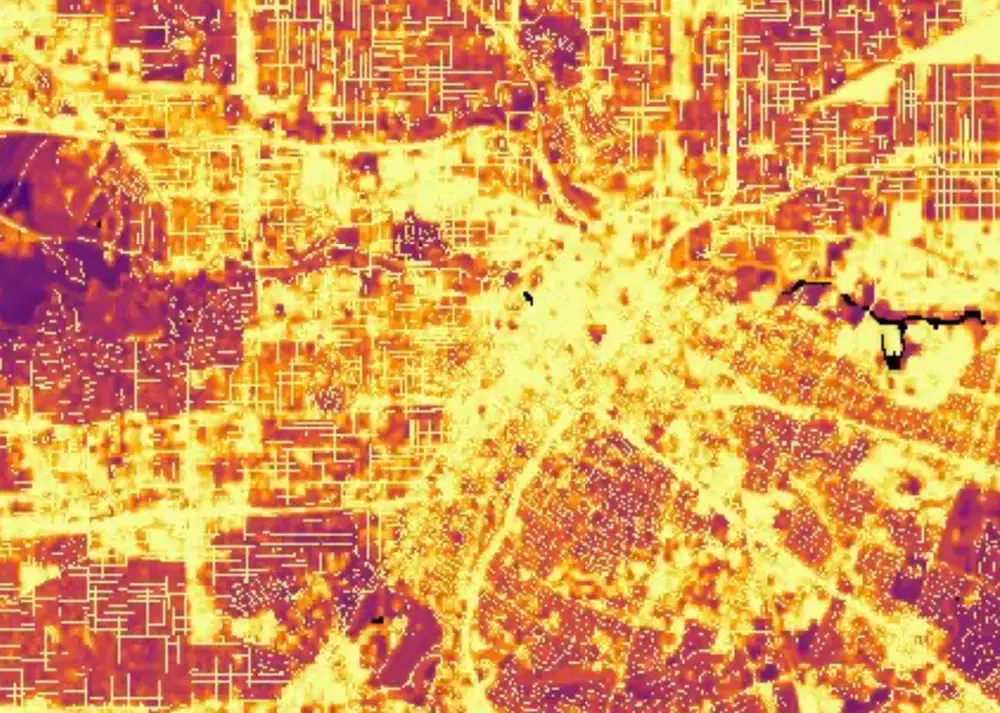
Black Marble HD
HD Black Marble combines VIIRS nighttime lights with Landsat-derived land surface information and OpenStreetMap road networks to create enhanced 30-meter nighttime light imagery for disaster impact assessment.
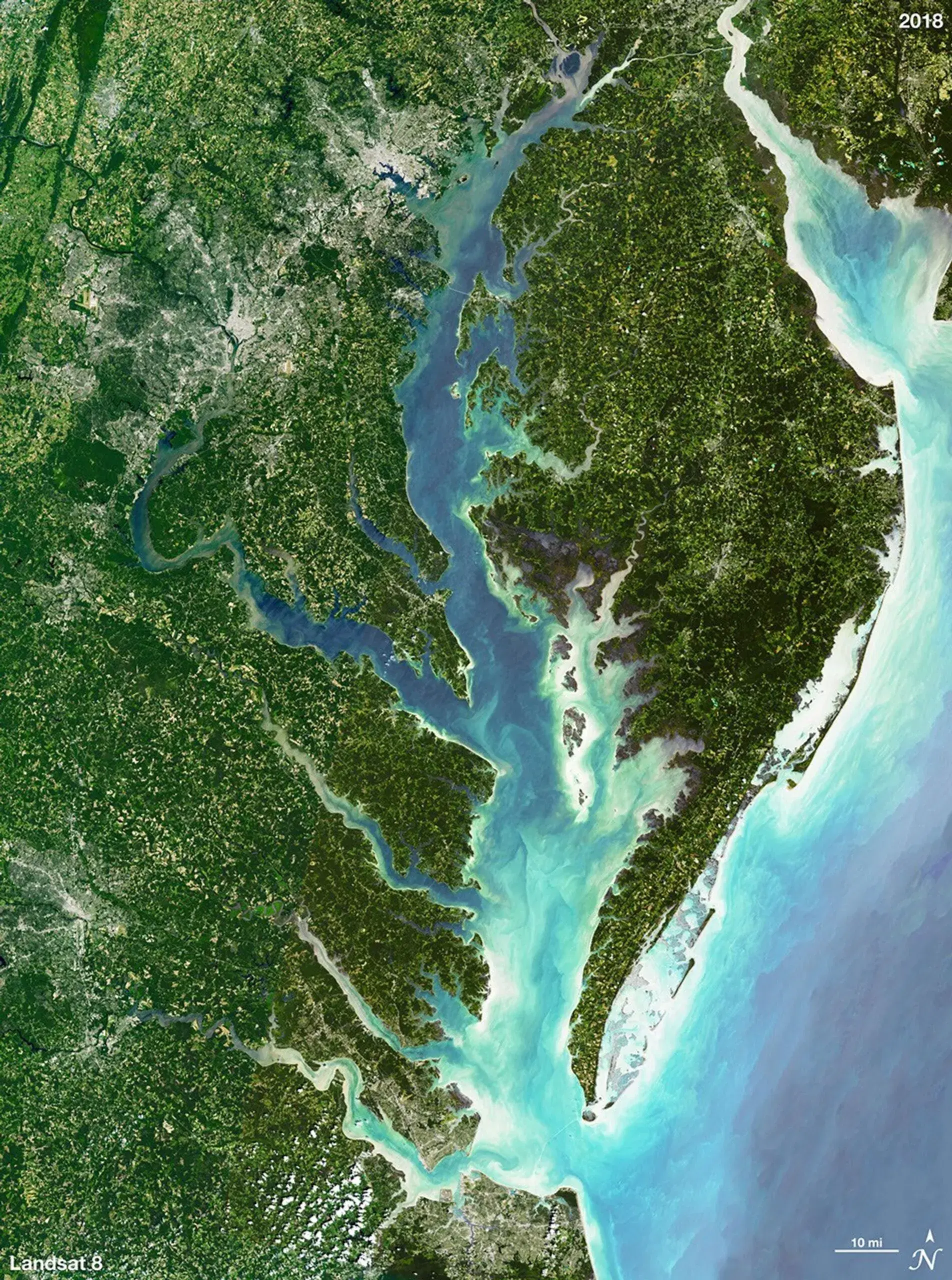
Landsat Natural Color Imagery
The Landsat Natural Color composite uses shortwave infrared, near-infrared, and red channels to emphasize vegetation, water, urban areas, and other surface features.

Landsat True Color Imagery
The Landsat True Color RGB composite provides a natural-looking view of the Earth's surface similar to how it would appear to the human eye.

Sentinel-2 Color Infrared Imagery
Created using near-infrared, red, and green channels to highlight vegetation, water, burned areas, and other surface changes associated with floods, fires, and other hazards.
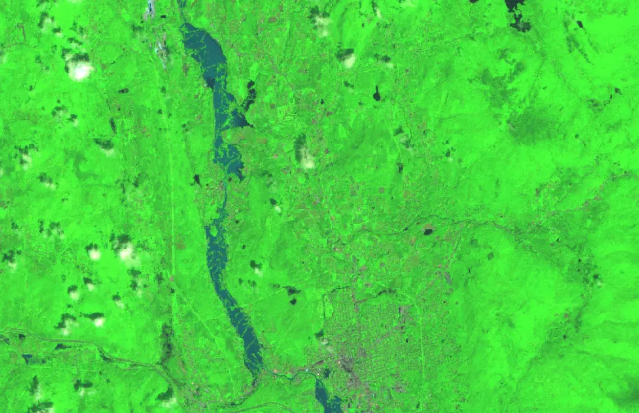
Sentinel-2 Shortwave Infrared Imagery
A false color composite created from Sentinel-2 shortwave infrared, near-infrared, and red observations to highlight differences among water, vegetation, burned areas, snow, bare ground, and developed surfaces.

Sentinel-2 True Color Imagery
A visible-light composite created from Sentinel-2 red, green, and blue observations to show the Earth's surface approximately as it would appear to the human eye from space.
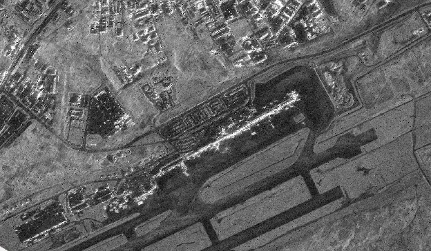
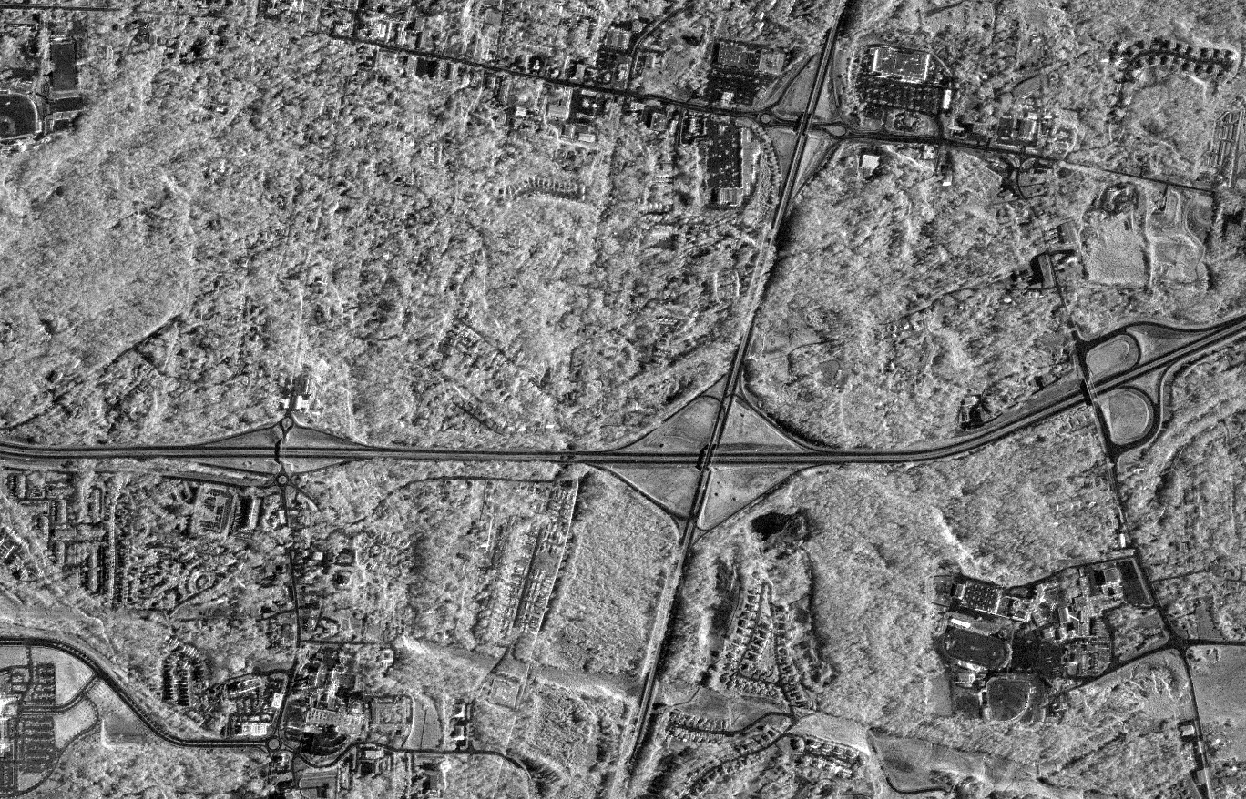
Umbra Backscatter
Sigma Naught backscatter derived from high-resolution Umbra synthetic aperture radar (SAR) imagery acquired through NASA's Commercial Satellite Data Acquisition (CSDA) Program.