
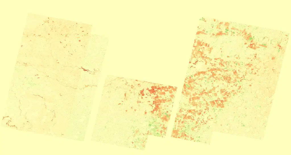
Planet NDVI Change
Summary
Planet NDVI Change is the difference between Normalized Difference Vegetation Index (NDVI) calculated from two PlanetScope acquisitions, a pre-event baseline and a later observation. Because each input is itself a ratio of near-infrared to red reflectance, differencing them isolates where green vegetation has changed rather than where the scene is simply brighter or darker. Negative values indicate a decrease in NDVI between the two dates, consistent with vegetation loss, defoliation, inundation, burning, or scour; positive values indicate an increase, consistent with regrowth, greening, or recovery. Values near zero indicate little change. NASA-supported access to Planet commercial satellite imagery is provided through NASA's Commercial Satellite Data Acquisition (CSDA) Program.
Suggested Use
Planet NDVI Change can be used to map the footprint and relative severity of vegetation disturbance after a hazard, and to track recovery when later acquisitions are differenced against the same baseline. It is particularly useful for flood scour along river corridors, storm damage to canopy, and burned vegetation. Because the product compares two specific dates, differences driven by seasonality, crop harvest, irrigation, or changing illumination and atmospheric conditions between those dates can resemble hazard impacts; results should be interpreted alongside true color imagery and other observations, and the dates of both inputs should be considered when drawing conclusions.
Terms of Use
NASA data and products are freely available to federal, state, public, non-profit and commercial users. This information can be experimental- or research-grade data products and may not be appropriate for operational use. These NASA data products, services, and the Disasters Mapping Portal are intended to aid decision makers and enhance situational awareness, but these data are not guaranteed to be consistently available or routinely updated. Use of this product should include: 'Includes copyrighted material of Planet Labs PCB. All rights reserved.'
Satellite/Sensor
PlanetScope Dove and SuperDove optical satellite constellation operated by Planet Labs PBC
Resolution
Approximately 3 meters
Credits
Planet Labs PBC; NASA Commercial Satellite Data Aqcuisition (CSDA) Program; NASA Disasters Program
©2026 Planet Labs PBC. All rights reserved.
This work utilized data made available through the NASA Commercial Satellite Data Acquisition (CSDA) Program.
Tags
NASA, CSDA, Planet Labs, PlanetScope, Dove, SuperDove, Commercial Satellite Data, NDVI, NDVI Change, Change Detection, Vegetation, Optical