Finding the Floods
How NASA aircraft gave Texas responders a clearer picture
When catastrophic flash flooding struck Texas Hill Country on July 4, 2025, emergency managers faced an urgent challenge: a fast-moving disaster, and a near-total lack of imagery to identify the people and places most impacted. Persistent cloud cover blocked optical satellites. Commercial radar assets struggled to see through the region's dense tree canopy. In the critical early days of search and rescue, the people making life-and-death decisions had almost no imagery of the hardest-hit areas.
The NASA Disasters Program moved quickly to fill that gap. Working directly with FEMA and the Texas Division of Emergency Management, the program coordinated specialized aircraft deployments to deliver flood maps and high-resolution imagery that helped guide search and rescue efforts and resource deployment.

Flying Over the Floods
NASA's response to the Texas floods relied on two advanced airborne instruments, each designed to see what other sensors couldn't.
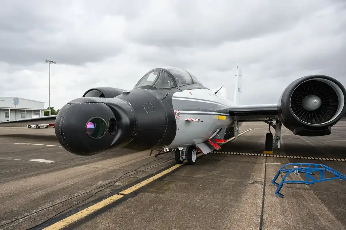
The WB-57 high-altitude aircraft, operated by NASA’s Johnson Space Center, carries a nose-mounted instrument called DyNAMITE that collects 10-centimeter resolution visible and infrared imagery. Through gaps in the clouds, the WB-57 captured detail sharp enough to identify individual structures, debris fields, and flood boundaries along river corridors. NASA streamed live video feeds and imagery directly to responders as the flights were still in the air, providing coverage of the San Gabriel basin at a moment when every new piece of information was critical.
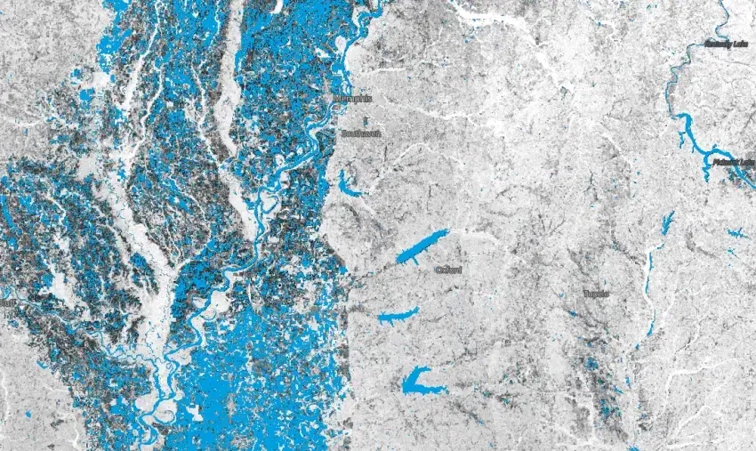
NASA’s UAVSAR instrument tackled a different challenge: the region's dense tree canopy. UAVSAR uses L-band radar – a longer wavelength than most satellite synthetic aperture radar (SAR) systems – which can pass through vegetation to detect water pooled beneath the trees. While conventional radar sees only treetops, UAVSAR returned a signal from the forest floor, revealing inundation that would otherwise go unmeasured. Flying aboard a Gulfstream III out of NASA's Armstrong Flight Research Center, the instrument covered the Guadalupe, San Gabriel, and Colorado River basins across three days of flights, providing the first publicly available observed flood maps of the disaster.
Explore the UAVSAR Flood Maps
This interactive map shows classifications that help identify flooded urban areas, croplands, vegetation, and open water using UAVSAR data collected during flights on July 9, 2025. Click the “i” button to learn more. Credit: NASA Jet Propulsion Laboratory
From the Hill Country to Orbit
The 2025 Texas floods showed how NASA's advanced instruments fill critical information gaps, and new orbital assets are extending these capabilities further than ever.
UAVSAR served as a direct scientific precursor to NISAR, the joint NASA and ISRO synthetic aperture radar satellite that began delivering data in early 2026. What UAVSAR demonstrated over the Texas Hill Country – such as under-canopy flood detection, rapid turnaround, actionable data in an active emergency – is precisely what NISAR now provides routinely on a global scale.
NASA also now has expanded access to high-resolution imagery from space. Through the Commercial Satellite Data Acquisition Program, the NASA Disasters Program can task commercial satellites to gather detailed imagery of active disasters. These data support a range of efforts – from building damage assessment and road disruption mapping to search and rescue operations – offering broad coverage across a variety of advanced sensors.
Flash floods remain among the most difficult disasters to observe in real time. When cloud cover, dense vegetation, and fast-moving water converge, the gap between what responders can see and what they need to know can be life-threatening. The NASA Disasters Program works to close that gap with the right sensors, the right science, and the right partnerships.