
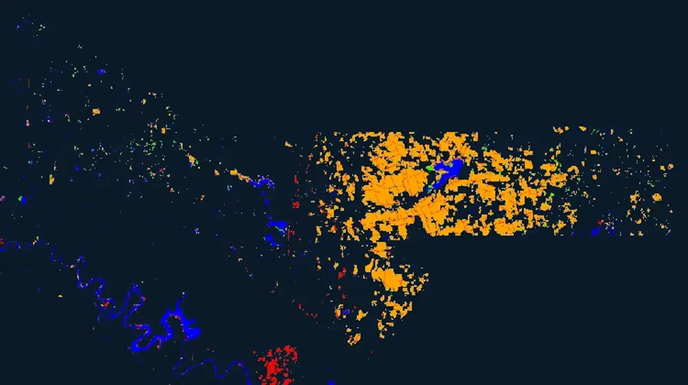
UAVSAR U-Net Flood Classification (Grayscale)
Summary
This product carries the same U-Net machine learning flood classification as the standard UAVSAR U-Net product, delivered as a single-band grayscale raster rather than a color-coded one. The underlying classification is identical: a U-Net algorithm trained on UAVSAR data from previous flood events identifies open water flooding and inundation beneath tree canopy from the polarimetric radar signal.
The grayscale rendering exists so the layer can be consumed as an analysis-ready input, combined with other datasets, or placed underneath thematic layers without its own color scheme competing with them. Where the color product encodes flooded land cover type as hue, this version carries the classification as pixel value.
Suggested Use
Use this version when the classification is being fed into further analysis, when it needs to be styled with a custom color ramp, or when it serves as a backdrop for other map layers whose symbology should dominate. For visual interpretation and for communicating flood extent to non-specialist audiences, the color-coded UAVSAR U-Net Flood Classification is the better starting point because it labels the type of land cover that was flooded.
The limitations of the source classification carry over in full. Strong double-bounce scattering from urban areas aligned with the radar viewing direction can produce erroneous flood detections, and results depend on the land cover types represented in the training data, so detections should be corroborated before being treated as confirmed.
Terms of Use
NASA data and products are freely available to federal, state, public, non-profit and commercial users. This information can be experimental- or research-grade data products and may not be appropriate for operational use. These NASA data products, services, and the Disasters Mapping Portal are intended to aid decision makers and enhance situational awareness, but these data are not guaranteed to be consistently available or routinely updated.
Satellite/Sensor
Uninhabited Aerial Vehicle Synthetic Aperture Radar (UAVSAR), an L-band fully polarimetric synthetic aperture radar flown on a NASA Gulfstream III (C-20A) aircraft and operated by NASA's Jet Propulsion Laboratory
Resolution
Spatial resolution depends on the underlying UAVSAR source product and processing applied to the classification. UAVSAR L-band observations typically cover an approximately 22-kilometer-wide swath.
Credits
NASA Jet Propulsion Laboratory (JPL) UAVSAR team and the NASA Disasters Program
Tags
NASA, JPL, UAVSAR, SAR, Synthetic Aperture Radar, L-band, Machine Learning, U-Net, Classification, Grayscale, Flood, Inundation, Under Canopy Flooding, Airborne, Disaster Response