
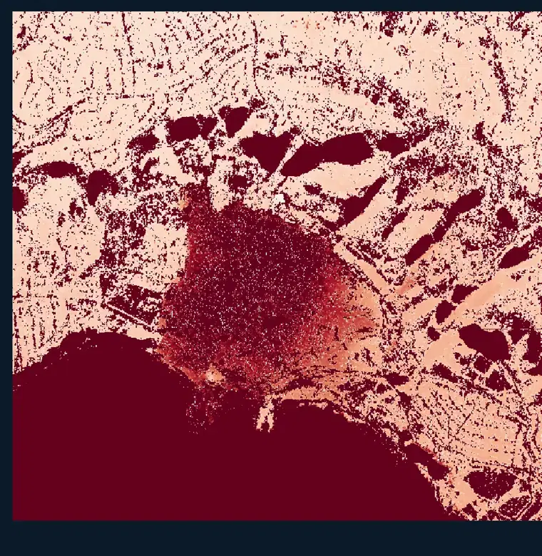
UAVSAR Surface Displacement
Summary
Researchers with the Advanced Rapid Imaging and Analysis (ARIA) and UAVSAR teams at NASA's Jet Propulsion Laboratory produce these surface displacement products from interferometric synthetic aperture radar (InSAR) data. InSAR measures the component of three-dimensional surface displacement that falls along the radar line of sight (LOS) between the ground and the sensor, by comparing the phase of radar images collected over the same area on different dates.
Motion away from the radar is negative and is shown in red, covering both horizontal movement and vertical subsidence. Motion toward the radar is positive and is shown in blue, covering both horizontal movement and vertical uplift. White areas have approximately zero displacement. All measurements are relative to a selected stable reference pixel and the data are not calibrated to any ground location, so an unknown bias in the reference level may be present.
Suggested Use
Use these maps as guidance for identifying areas of significant ground displacement following earthquakes, landslides, volcanic activity, subsidence, and other events that deform the surface. They are well suited to narrowing a large area down to the locations that warrant closer inspection or field verification.
These data have not yet been validated and carry several important constraints. InSAR measurements are less reliable over heavily vegetated areas, over steep slopes, and over fast-moving areas, defined here as motion greater than 13 centimeters per week at eight-day temporal sampling. The technique does not measure motion in the east-west direction, which is perpendicular to the radar line of sight, so displacement in that direction will be missed entirely. Results should be treated as indicative rather than as measured ground truth.
Terms of Use
NASA data and products are freely available to federal, state, public, non-profit and commercial users. This information can be experimental- or research-grade data products and may not be appropriate for operational use. These NASA data products, services, and the Disasters Mapping Portal are intended to aid decision makers and enhance situational awareness, but these data are not guaranteed to be consistently available or routinely updated.
Processing
UAVSAR data are processed with the operational UAVSAR stack processor to produce a stack of radar images collected on each date. Interferograms are formed for each successive pair of images in the stack, using a Goldstein filter to smooth the interferometric phase. Each interferogram is masked to exclude water and areas where interferometric performance is expected to be poor due to layover and shadow effects. Interferograms are then unwrapped using the PHASS phase unwrapping algorithm, with an additional interpolation step to smooth over low coherence regions, and the unwrapped result is converted to distance change from radar to target, provided in meters.
Satellite/Sensor
Uninhabited Aerial Vehicle Synthetic Aperture Radar (UAVSAR), an L-band fully polarimetric synthetic aperture radar flown on a NASA Gulfstream III (C-20A) aircraft and operated by NASA's Jet Propulsion Laboratory
Resolution
Spatial resolution is product-dependent for the multilooked UAVSAR repeat-pass interferometric products used to derive displacement. Exact pixel spacing is provided in the metadata for each acquisition.
Credits
NASA Jet Propulsion Laboratory (JPL) Advanced Rapid Imaging and Analysis (ARIA) and UAVSAR teams, and the NASA Disasters Program
Tags
NASA, JPL, ARIA, UAVSAR, SAR, Synthetic Aperture Radar, InSAR, Interferometry, L-band, Surface Displacement, Line of Sight, Subsidence, Uplift, Landslide, Earthquake, Airborne